PO Box 10644
Jackson, WY 83002
Jackson Hole Real Estate
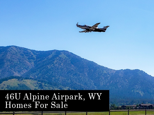
Alpine, WY Real Estate
Star Valley, WY Real Estate
Sheridan, WY Real Estate
Office: 307-264-3313
Allure Real Estate Brokerage
2184 Channing Way #287 Idaho Falls, ID 83404
Office: 208-556-7778
Allure Real Estate Brokerage
1001 E. Harmony Rd #220 Fort Collins, CO 80525
Office: 970-367-4177
12400 W Hwy 71 Suite 350-424 Austin, TX 78738
4771 Sweetwater Blvd #132 Sugar Land, TX 77479
1710 Roman Forest Blvd Roman Forest, TX 77357
Office: 281-973-2263 | 512-575-3332